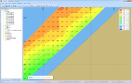
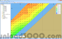
Publisher description
GPS Mapping Software for Windows, Loading topographic maps, realtime navigation, track recording, manage GPS devices and more. The software can be used with various map formats including: GeoTIFF, BSB Nautical Charts, AutoCad DXF files, ESRI Shapefiles. Using calibration you can also use scanned or downloaded JPG, BMP, GIF, PNG and TIF maps. The software can be used for map editing, coordinate conversion, map resampling, survey, research, track and trace and more. The software has more then 4000 map projections build in.
Related Programs

SMART Ideas Concept-Mapping Software 3.0
Teach your students to be creative thinkers!

Erase all tracks of your Internet activity

Garmin Phase Output Plug-In for GPS.NET 1.3
Quickly Add Support for Garmin® GPS Devices

Maps download 1.01
Store Google, Yahoo, VE maps to local disk

Google Maps Downloader

